| Map number |
Name |
Design (obverse) |
Basic information |
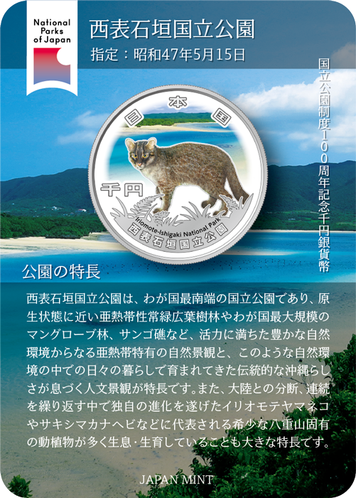
| ① |
Iriomote-Ishigaki National Park |
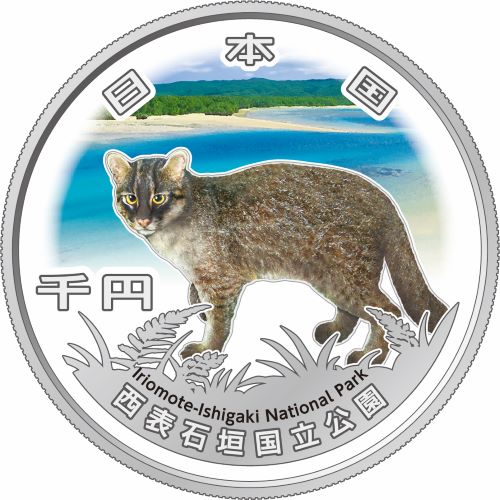
Kabira Bay and Iriomote Wild Cat |
The park is characterized by its natural landscape typical of the subtropical zone–a dynamic and abundant natural environment comprising near-primeval subtropical broad-leafed evergreen forest as well as Japan’s largest mangrove forest, and coral reefs–and its human landscape imbued with a traditional Okinawa-ness that has been nurtured through everyday living within this environment.
|
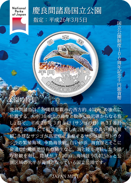
| ② |
Keramashoto National Park |
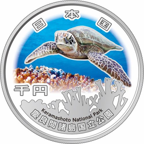
Coral Reef and Green Turtle |
The Kerama Islands boast a wide variety of landscapes extending from the land to the sea that include seascapes of exceptionally transparent waters, reefs densely populated by various species of corals, waters where humpback whales breed, sandy beaches, sea cliffs, the vegetation unique to windy regions, and the archipelago itself.
|
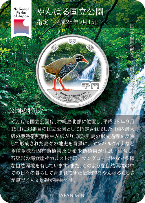
| ③ |
Yambaru National Park |
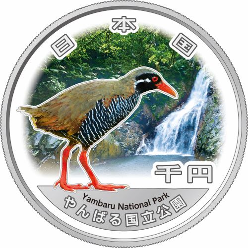
Hiji Great Falls and Okinawa Rail |
The park displays a diverse and varied natural environment from its subtropical evergreen laurel forest making it Japan’s largest of its kind and a reflection of the process of forming the Ryukyu Islands. Its wide variety of unique plants and animals, such as Okinawa rail under a backdrop of the geological history that formed the islands, the rare animals and plants living in the park, the sea cliffs and karst limestone formations, and mangrove forests all add to the diversity of its environment.
|
| ④ |
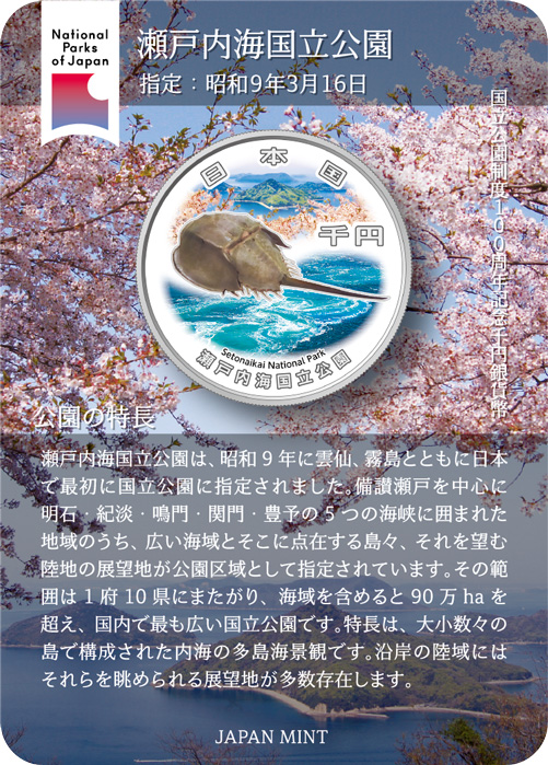
Setonaikai National Park |
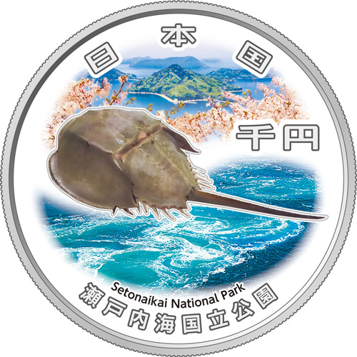
Archipelago seascapes viewed from Mt. Shiude, with the whirlpool of the Naruto Strait and Japanese horseshoe crab |
The distinct features of this park are archipelago seascapes of the inland sea studded with numerous islands and islets of varied sizes. The coastal land area abounds with observation points. The area around the Setonaikai Sea enjoyed a flourishing culture from early times as the inhabitants coexisted with nature. Areas of terraced fields, port town awaiting a favorable tide, and other scenes of people living in a state of intimate connections to nature and creating familiar scenes are signature attributes of this park.
|
| ⑤ |
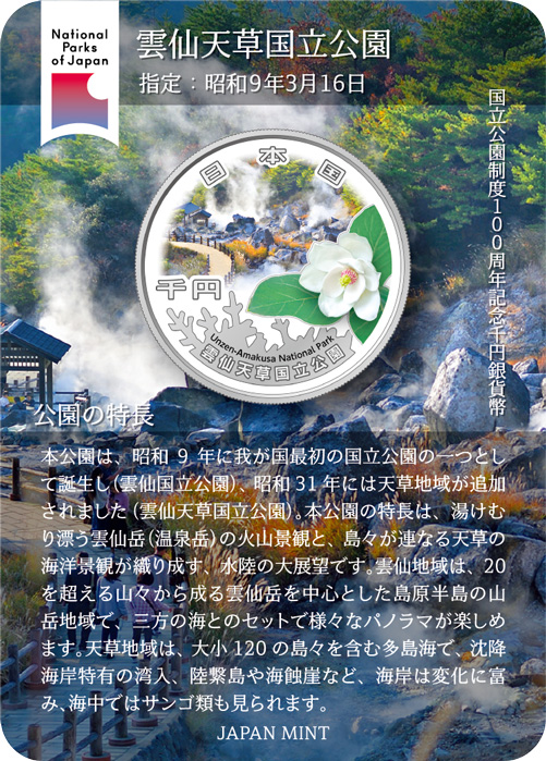
Unzen-Amakusa National Park |
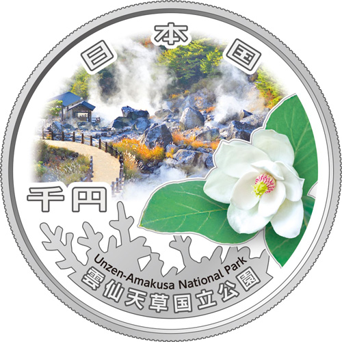
Unzen Jigoku, rime ice, and Oyama magnolia |
The highlight of this park is its terraqueous panorama composed of volcanic landscape of the steaming Mt. Unzen and archipelagic seascape of Amakusa. The Unzen area is a mountainous area of the Shimabara Peninsula centered on Mt. Unzen, consisting of over 20 mountains, and it affords various panoramic views along with the seascape on three sides. The Amakusa area is an archipelago with 120 islands and is a place to savor a varied coastline with indentations unique to a submergent coast, land-tied islands and sea cliffs, as well as corals in the sea.
|
| ⑥ |
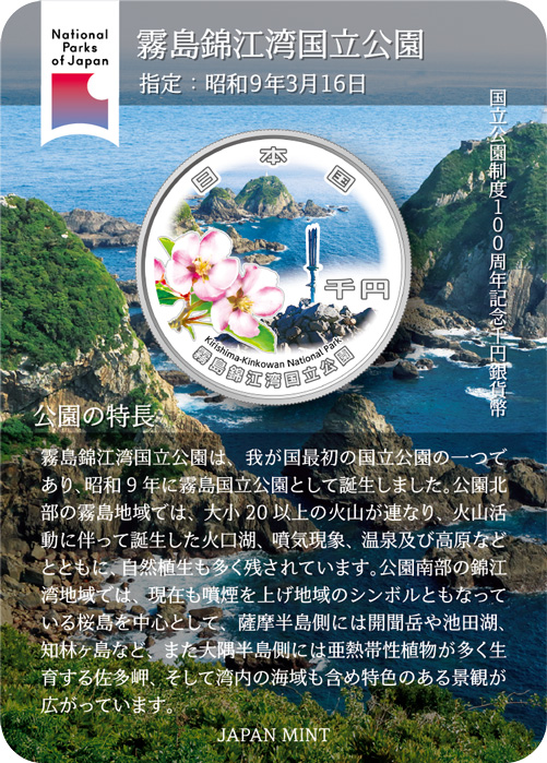
Kirishima-Kinkowan National Park |
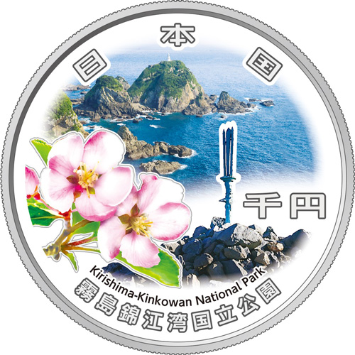
Cape Sata, Field Crabapple, and Amanosakahoko |
The park can be broadly divided into northern and southern parts. The Kirishima area in the northern part of the park has a series of more than 20 volcanoes, both large and small, as well as crater lakes, fumarole phenomena, hot springs, and plateaus all created through volcanic activity. In the Kinkowan Bay area in the southern part of the park, centered around Mt. Sakurajima –a still-active volcano that is the area’s symbol–is unique scenery.
|
| ⑦ |
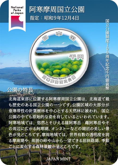
Akan-Mashu National Park |
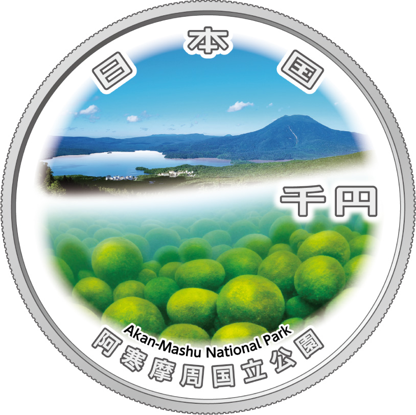
Lake Akan, Mt. Oakan, and spherical moss |
The park can be broadly divided into two areas: the Akan area and the Mashu area. In the Akan area, the sights to see include Mt. Me-akan and Mt. O-akan which tower sedately over nearby lakes and reservoirs such as Lake Akan and Lake Onneto in a breathtaking landscape. In the Mashu area, the sights to see are Lake Mashu --one of the most transparent lakes in the world --as well as Lake Kussharo, which can be viewed from the surrounding mountain passes and peaks, and the colors of the forests, which transform with the seasons.
|
| ⑧ |
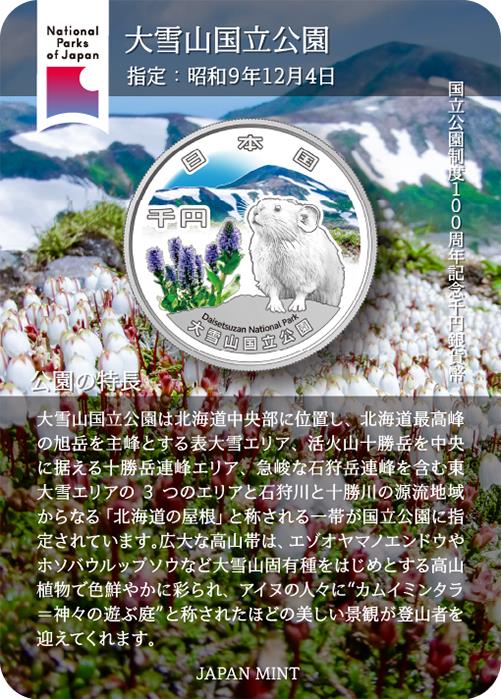
Daisetsuzan National Park |
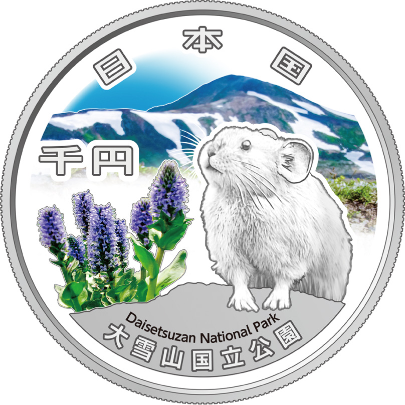
Mt. Hokuchin, a pika, and Lagotis yesoensis |
Sometimes referred to as the roof of Hokkaido, the area designated as a national park includes the Daisetsuzan volcanic group that culminates in Mt. Asahidake (Hokkaido’s highest peak), other magnificent peaks such as Mt. Tomuraushi, Tokachi Mountain Range and Ishikari Mountain Range, as well as the sources of the Ishikari River and Tokachi River. The vast mountain belt is covered with colorful alpine plants including endemic species. The area is referred to by the Ainu people as Kamui Mintara or "the playground of the Gods," and its beautiful landscapes are a treat for mountain climbers.
|
| ⑨ |
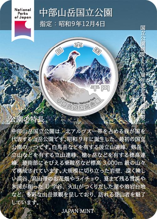
Chubu-Sangaku National Park |
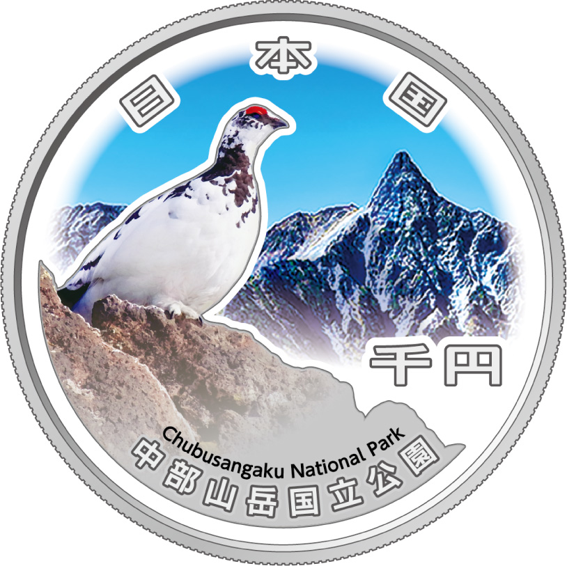
Mt. Yarigatake and a grouse |
The park consists of some of Japan’s most famous mountains rising 3,000 m above sea level from north to south. From steep rock cliffs, deep and precipitous valleys, alpine belts, rock ptarmigans, a blanket of snow over the valleys that lingers till summer months, glacier-eroded U-shaped valleys, lakes, and lava plateaus formed by volcanoes create a great variety of mountain landscapes to captivate many climbers.
|
| ⑩ |
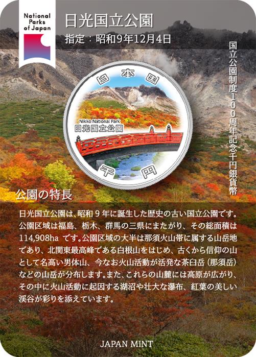
Nikko National Park |
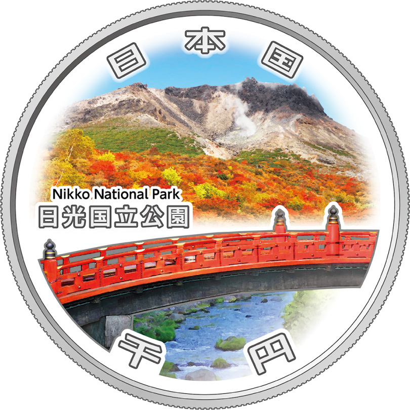
Mt. Chausu and Shinkyo Bridge |
Most of the area is a mountainous region of the Nasu Volcanic Belt with such mountains as Mt. Shirane, the highest peak in the northern Kanto region; Mt. Nantai, which has been renowned as an object of worship from ancient times; and Mt. Nasudake, which is still an active volcano. These mountains have wide plateaus at their bases, and the additional beauty of lakes, reservoirs, magnificent falls, and valleys with splendid autumn leaves, all of which were created by volcanic activity.
|
| ⑪ |
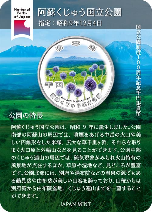
Aso-Kuju National Park |
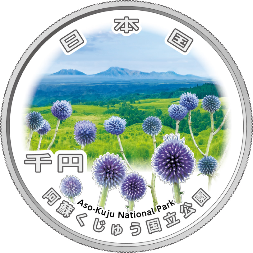
Five Aso Mountains, Kuju Highland, and Echinops setifer |
The park features a huge caldera encompassing the five peaks of Mount Aso, along with the Kuju Mountain Range located to the north. In the southern part of the park, visitors can admire a series of breathtaking scenery, including the fuming crater of Mount Nakadake. Around the Kuju Mountain Range, visitors will find various volcanic phenomena scattered throughout the area, creating unique volcanic landscapes. In the northern part of the park, the beautiful shapes of Mount Tsurumi and Mount Yufudake, the sources of hot springs in Beppu and Yufuin, can be appreciated.
|
| ⑫ |
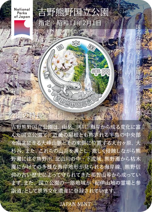
Yoshino-Kumano National Park |
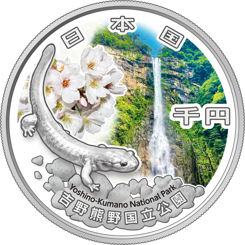
Nachino-Otaki Falls, Odaigahara salamander, and Japanese mountain cherry |
The park features varied landscapes consisting of mountains, rivers, and beaches, and encompasses the Omine Mountain Range. The region stretches from north to south with Odaigahara Plateau to the east; the Osugi Valley and the Kumano River from its source in these mountains to the Kumano-nada Sea; and Mt. Nachi, which was protected over its long history by those who worshipped Kumano. In addition, a portion of the area is designated a World Heritage site, named the "Sacred Sites and Pilgrimage Routes in the Kii Mountain Range."
|
| ⑬ |
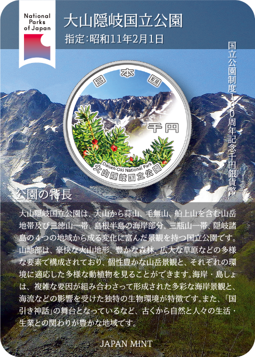
Daisen-Oki National Park |
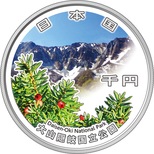
Mt. Daisen and Daisen Japanese yew |
The park is marked with numerous variations, encompassing a mountainous area, the coastal area of the Shimane Peninsula, as well as Mt. Sanbe and the Oki Islands. The mountainous area consists of a variety of elements that include dynamic volcanic landforms, rich forests, and a vast grass-covered plain. The seaside and islands feature a range of seashore landscapes formed by a combination of complicated factors, in addition to the biological environment unique to beaches and islands affected by ocean currents. The Japanese mythology, Kunibiki Shinwa, was set in this area.
|
| ⑭ |
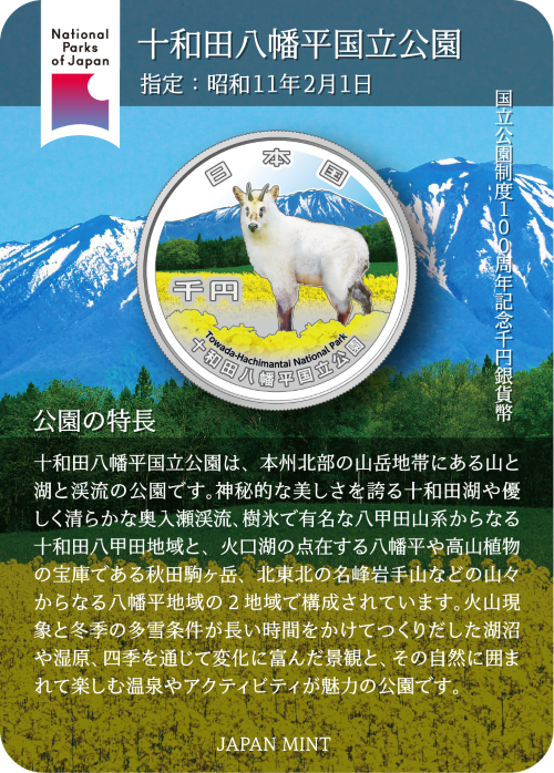
Towada-Hachimantai National Park |
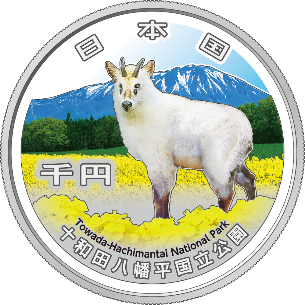
Mt. Iwate, Japanese serow, and canola flowers |
The park is a park of mountains, lakes, and mountain streams located in the mountainous region of northern Honshu. It comprises two distinct areas: the Towada-Hakkoda region—featuring the mystically beautiful Lake Towada, the gentle and pristine Oirase Mountain Stream, and the Hakkoda Mountain Range (renowned for its “snow monsters” or frost-covered trees)—and the Hachimantai region, which includes Hachimantai (dotted with crater lakes), Akita-Komagatake (a treasure trove of alpine flora), and Mt. Iwate (a celebrated peak of northern Tohoku). The park’s appeal lies in its diverse landscapes—shaped over eons by volcanic activity and heavy winter snowfall into lakes, marshes, and ever-changing seasonal vistas—as well as the hot springs and outdoor activities enjoyed amidst this natural splendor.
|
| ⑮ |
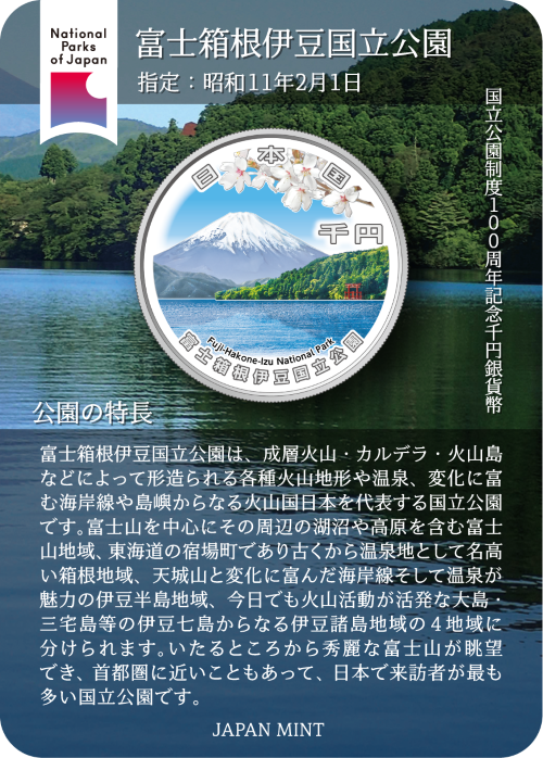
Fuji-Hakone-Izu National Park |
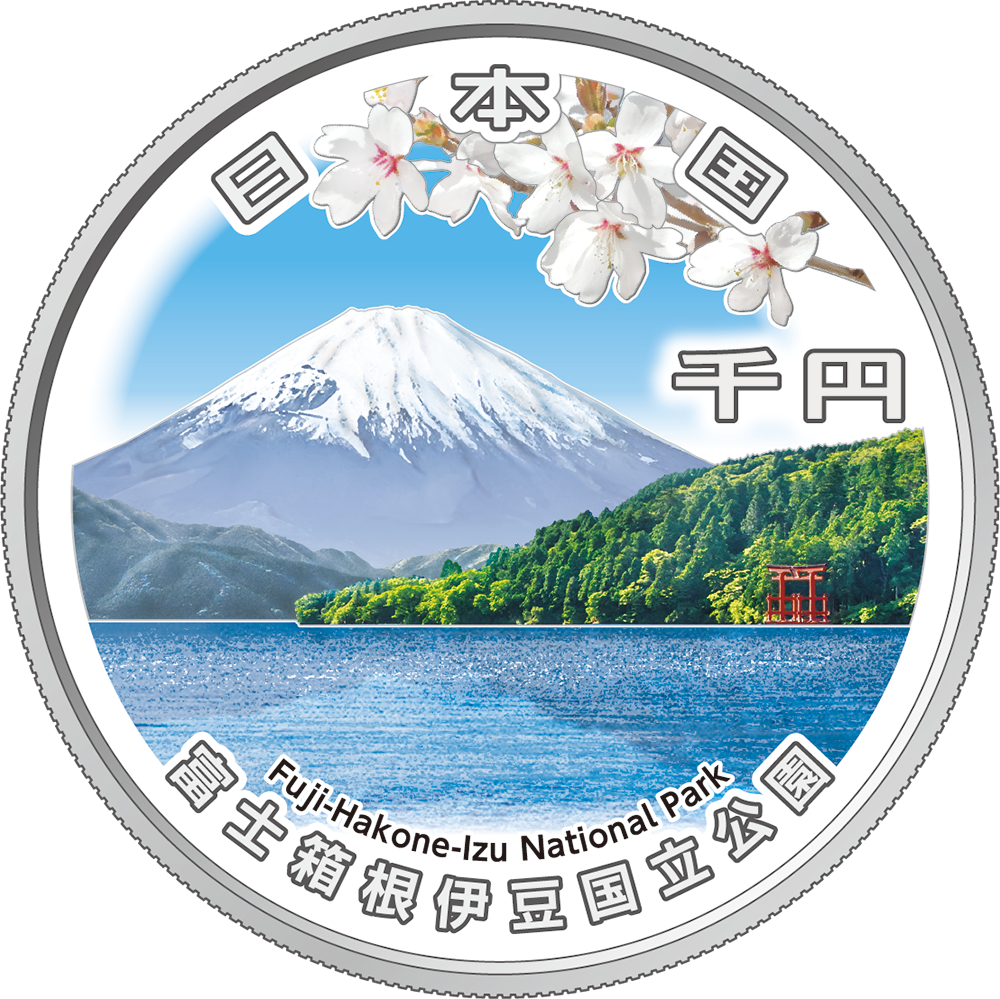
Mt. Fuji seen from Motohakone, and Fuji cherry |
Fuji-Hakone-Izu National Park is a premier national park representing Japan—a volcanic nation—featuring diverse volcanic landforms such as stratovolcanoes, calderas, and volcanic islands, as well as hot springs, varied coastlines, and islands. The park is divided into four distinct areas: the Mount Fuji region, encompassing the mountain itself along with surrounding lakes and highlands; the Hakone region, a historic post town on the Tokaido road and a renowned hot spring destination; the Izu Peninsula region, featuring Mount Amagi, diverse coastlines, and hot springs; and the Izu Islands region, comprising islands such as O-shima Island and Miyake-jima Island that remain volcanically active today. Offering magnificent views of Mount Fuji from many locations and situated close to the Tokyo metropolitan area, it is the most visited national park in Japan.
|
| ⑯ |
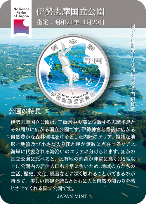
Ise-Shima National Park |
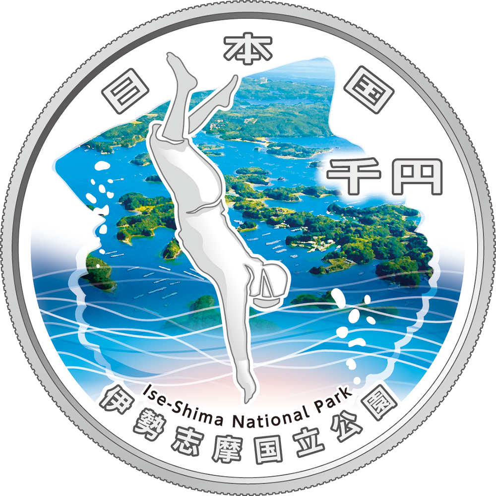
Ago Bay, Akoya pearl oyster, and Ama |
The park encompasses the Shima Peninsula, located in central Mie Prefecture, and the surrounding area. The park is divided into two distinct zones: an inland area centered on Ise Jingu and the lush forests stretching out behind it, and a coastal area characterized by a ria coastline—featuring complex topography and geology, as well as countless small inlets and headlands. Unlike many other national parks, it has an exceptionally high proportion of privately owned land (over 96%) and a large resident population; this allows visitors to deeply experience the local way of life, history, culture, and customs, making it a park that offers not only beautiful scenery but also a tangible sense of the relationship between people and nature.
|